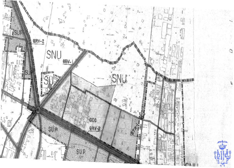
Plano A_1.2
Alguna descripción de la capa
|
|
Citation proposal
(2021) . Plano A_1.2. https://demo.gvsigonline.com/geonetwork/srv/api/records/6717e00c-d394-400e-88be-fa8963ef35ed |
Simple
- Date ( Publication )
- 2021-06-01T10:14:43.801297
- Identifier
- ws_aconca:Plano_A_1_2
- Purpose
- Status
- Completed
Point of contact
- Maintenance and update frequency
- Unknown
- Update scope
- Dataset
- Spatial representation type
- Grid
- Metadata language
- eng
- Character set
- UTF 8 UTF8
- Topic category
-
N
S
E
W
))
- Reference system identifier
- EPSG:25830
- Distribution format
-
- TIF (GeoTiff 1.0 )
Distributor
- OnLine resource
-
ws_aconca:Plano_A_1_2
Plano A_1.2
- OnLine resource
-
ws_aconca:Plano_A_1_2
Plano A_1.2
gmd:MD_Metadata
- File identifier
- 6717e00c-d394-400e-88be-fa8963ef35ed XML
- Metadata language
- English
- Character set
- UTF8
- Hierarchy level
- Dataset
- Metadata standard name
- ISO 19115:2003/19139
- Metadata standard version
- 1.0
Point of contact
Overviews

Plano A_1.2
Provided by

Views
6717e00c-d394-400e-88be-fa8963ef35ed
Access to the portal
Read here the full details and access to the data.
Associated resources
Not available
 gvsigol