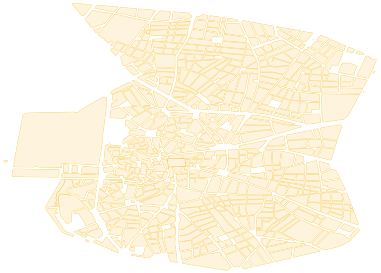
Manazana
Cartografía municipal por distritos a escala 1:5000, formato SHP, ETRS89 del Portal de datos abiertos del Ayuntamiento de Madrid
|
|
Citation proposal
. Manazana. https://demo.gvsigonline.com/geonetwork/srv/api/records/f91d8e14-74cc-4b29-b811-77e56c7db301 |
Simple
- Date ( Creation )
- 2017-02-22 08:12:41.220285
N
S
E
W
))
- Reference system identifier
- EPSG:25830
Spatial representation info
No information provided.
- Distribution format
-
- ShapeFile (Grass Version 6.1 )
gmd:MD_Metadata
- File identifier
- f91d8e14-74cc-4b29-b811-77e56c7db301 XML
- Metadata standard name
- ISO 19115:2003/19139
- Metadata standard version
- 1.0
Overviews

Provided by

Views
f91d8e14-74cc-4b29-b811-77e56c7db301
Access to the portal
Read here the full details and access to the data.
Associated resources
Not available
 gvsigol